India to Draw up Digital Map Using Drones, Artificial Intelligence
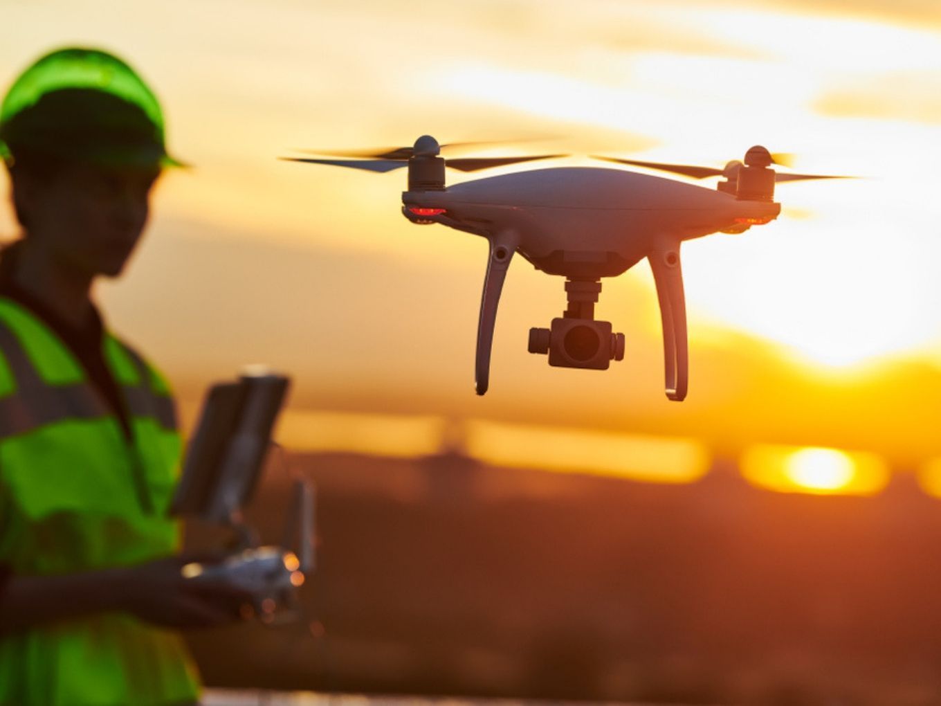
A map is different from an image; we have to produce a map which takes into account the curvature. Digital map has been invented in India with a resolution of 10 centimeters, using drones and technologies such as Artificial Intelligence and big data, a senior government.
Latest technologies like drones, Artificial Intelligence, big data analytics, image processing and continuously operated reference system”, he told reporters on the sidelines of an event in Bengaluru.
It is being prepared is (going to be) the basis for everything you do, whether we have to lay down train tracks, lay a road, put up a hospital, cleaning up Ganga, cleaning up Cauvery or any kind of development and planning.
We have to produce a map which takes into account the curvature,” Prof Ashutosh Sharma said. Speaking about the continuously operated reference system, he said the Survey of India has a reference point at every 20 km.
with the help of these digital stations, whose coordinates are well-established, even using your smartphones you can do your mapping with an accuracy of 10 cm,” according to him.
The survey is currently in progress in Karnataka, Haryana, Maharashtra and the Ganga basin.


